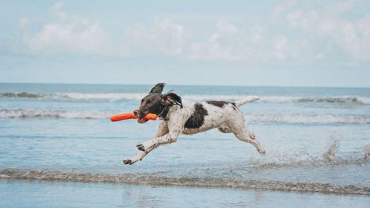
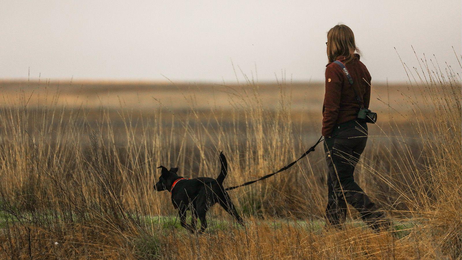
Dog-friendly walks for your next trip to Cornwall
The Camel Trail
- Start point/end point: Bodmin (Scarlett Wells car park) to Padstow
- Walk type: Point to point
- Distance/time: 12 miles/5hrs
Once upon a time, this stunning stretch of path was railway track, owned by the North Cornwall Railway, connecting Bodmin and Padstow. Since the 1960s however, nature’s reclaimed it, and the way’s been cleared to allow access – leaving a lovely flat 12-mile stretch to explore with your dog. Along the way, it follows the winding path of The Camel River, to its eventual resting place, the sea.
There’s plenty to catch the eye on the way, you’ll see the Camel Valley Vineyard’s seemingly endless rows of vines (worth a quick detour), and further along you’ll find yourself skirting woodland at the Grogley Tracks Park, and then again at Burlorne Tregoose, near Burlawn, and just outside Wadebridge.
The section of the trail on the other side of Wadebridge is relatively bare, with just the scenery to enjoy, so whilst in Wadebridge, pick up anything you might want for the last leg of the trip from the shops directly on the trail – including Wadebridge Wines for a cheeky picnic, and ready yourself for the final push.
You’ll head through along the Camel Estuary, with nothing but views for a good five miles, so pick a spot along the way for your picnic, and simply enjoy the distraction-free wander. Your next milestone will be Padstow itself, where if you arrive in time, you can pop into the dog-friendly National Lobster Hatchery – and meet the adorable baby crustaceans.
Stay at: Poachers Pocket
Lizard Coastal Walk
- Start point/end point: Kynance car park
- Walk type: Circular
- Distance/time: 6.5 miles/2hrs
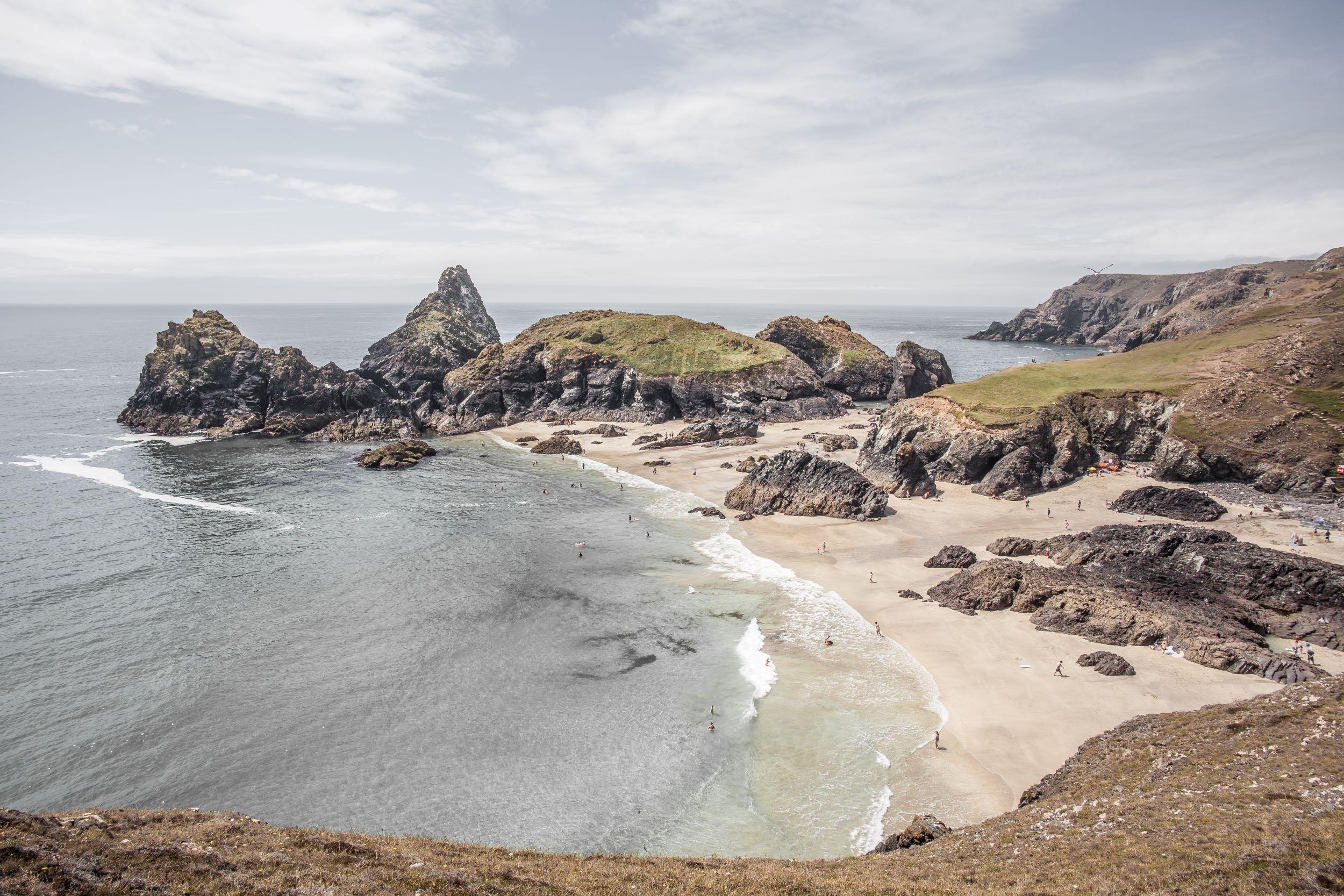
Starting off at the National Trust car park at Kynance Cove, follow the signage, and head on down to Kynance Cove itself to start off the walk. You’ll descend to slowly, with ocean views as you go, all the way to the pristine sands. The colourscape here changes from season to season, royal purple with heather in the summer, to a sepia hue in autumn. The wildlife is wild and varied, with gannets and guillemots ruling the skies, and basking sharks making the sea their kingdom.
Once you’ve made the most of the beach (there are restrictions in July and August), head back up, past the car park, where you’ll rejoin The South West Coast Path (SWCP) and head southeast. This is the longer stretch of the path, and it’ll have you admiring the craggy cliffs, with fresh salty air blustering over you. Follow the SWCP around the tip of the Lizard Peninsula, and the path will skirt some historic landmarks, like one of Guglielmo Marconi’s wireless huts left over from his radio experiments, and further on an old Victorian lifeboat station. After this waypoint, head down Church Cove road, connect to Green Lane, and follow the signage back to the centre of the village, until you’re on the A3083, which you then follow away from the village until you can rejoin the road back to the Kynance car park.
Stay at: The Cottage at Halzephron House
Mullion Cove
- Start point/end point: Mullion car park to Poldhu Cove
- Walk type: Circular
- Distance/time: 2-3hrs
There’s no shortage of walks around The Lizard Peninsula, and a particularly nice one can be found starting from the Mullion car park on the west side. It’s the perfect place to start a stroll, as you can load up with whatever’s needed in the village, and then head off.
Follow the signage out to Mullion Cove, which is about a mile’s walk, and will take you through the village, out past the patchwork fields, and to the descent at Mullion, where the dramatic cliffsides look like a movie set. If it’s fine weather you can get pretty close to the sea, but if it’s blustery, keep a way back from the edges. The coast feels the full force of Atlantic storms here!
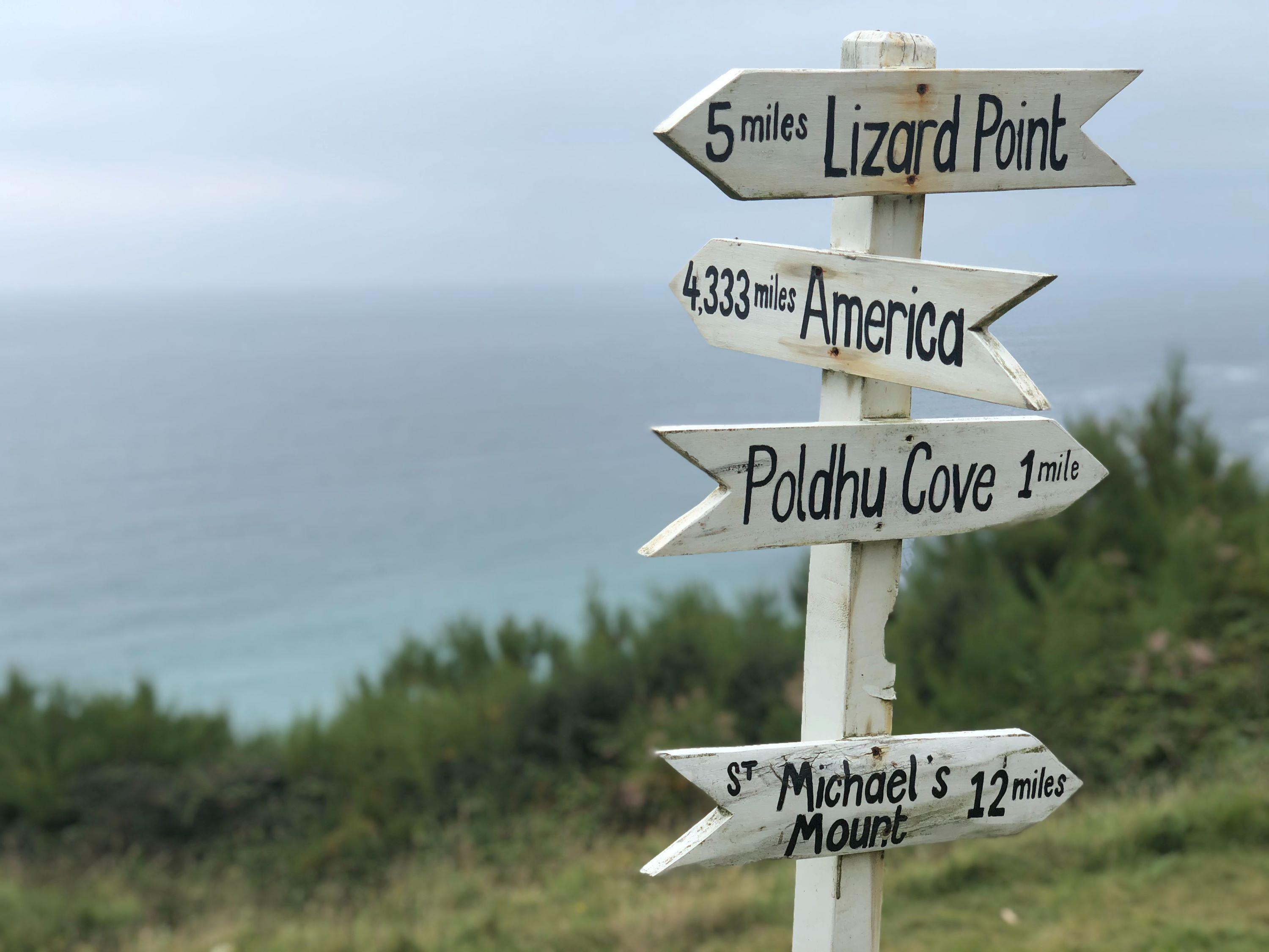
From there, make your way back up, and take the SWCP northwards towards Polurrian beach, following along the coast as it wiggles its way up. Polurrian will suddenly appear, revealing about 150 metres of sand, and if it’s the right time of year, the dog can do a little leg stretch on it. From here, continue in the same direction on the SWCP, following the coast once again to Poldhu Cove, past the Marconi World Heritage Site (pop in if you have time) – and finish at the beach. If it’s the right time of day, grab a coffee at the café – where dogs are welcome, and hit the sands if the seasonal restrictions aren’t on. You can then follow the Poldhu Road back to the car, in Mullion.
Stay at: The Cabin at Halzephron House
St Agnes to Porthtowan (via Wheale Coates)
- Start point/end point: Porthtowan Beach car park (TR4 8AA)
- Walk type: Circular
- Distance/time: 4 miles/1 or 1.5 hours
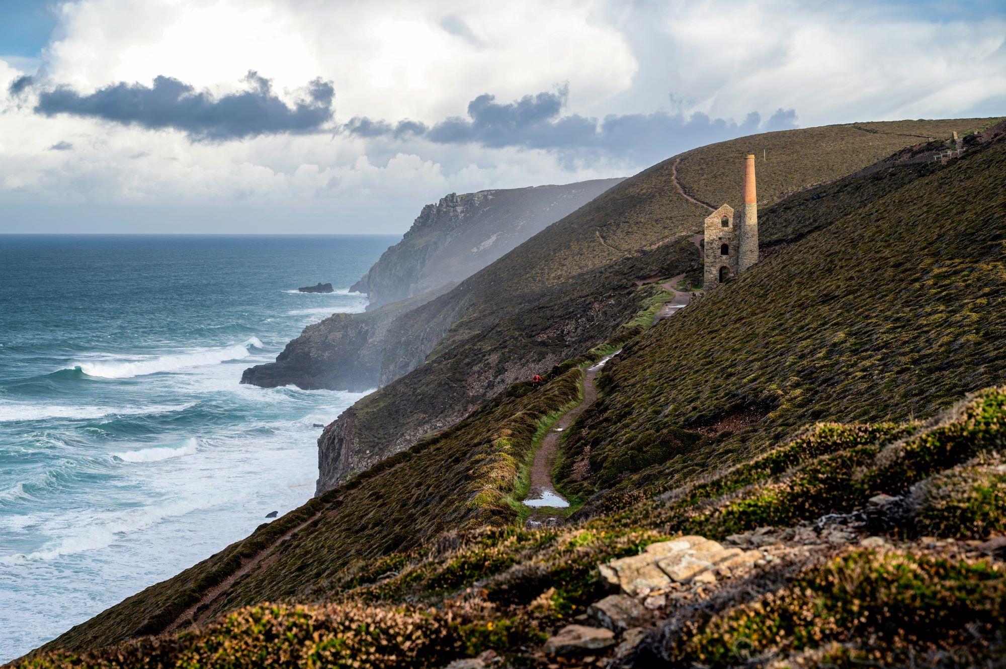
This stunning wander is perfect for humans and dogs alike, and at a four-mile circular, it’s just about an ideal length for all. Start out at the car park by the beach, and of course, have a little stretch on the sand (check for the seasonal restrictions). From here, you’ll be heading north on the SWCP, taking the path on the right-hand side of the beach. It’ll take you up past Blue Bar, and to the headland that looks over the Porthtowan rock pools, and along the coastline. Your first point of interest will be the Great Wheal Charlotte, an abandoned mine, which you’ll notice as a large stone chimney. Next, you’ll arrive at Chapel Porth Beach, where there’s the opportunity for a pick-me-up at the Chapel Porth Beach Café and a stroll on the sands with the hound (restrictions permitting).
You’ll then carry on in the same direction, back on the SWCP on the coastline, heading past Wheal Coates (much the same as Wheal Charlotte), and then Tubby’s Head – once an iron age fort, and now a wonderful viewpoint for the coast. And from there, it’s on to St Agnes Head, where the site was once an artillery range during the Second World War, and a rifle range during the Napoleonic wars, in fact, its history seemingly goes on and on. From here, you can wander back, having seen a wonderful stretch of the Cornish coastline.
Stay at: The Old Barn at Lower Tresithick